The Little Canal that Could: The Story behind Beijing's Liangma River
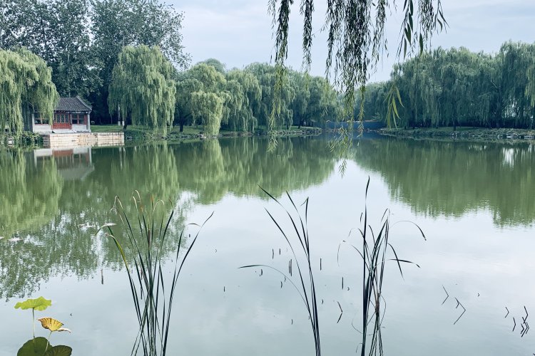
The Liangma River is one of the city’s best-loved (and now best-known) reclamation projects. The banks of the river are popular with joggers, swimmers, kayakers, paddle boarders, picnickers, families, fishermen, and those who are just looking for a nice place to take a post-meal stroll. During the Covid lockdowns, the riverside became a popular gathering place for musicians and dedicated partiers who refused to be undeterred in their pursuit of hooch, hookups, and happy times by the forced closure of their favorite clubs and bars.
Comparing Liangma River to La Seine, as the local tourism board is apt to do, might be a little heavy-handed and even unfair to our hometown creek. La Seine has a long history as a river. In contrast, the Liangma has had to evolve from horse baths to a drainage canal, then an unfortunate stint as an open sewer, and finally, to the lovely waterway it is today.
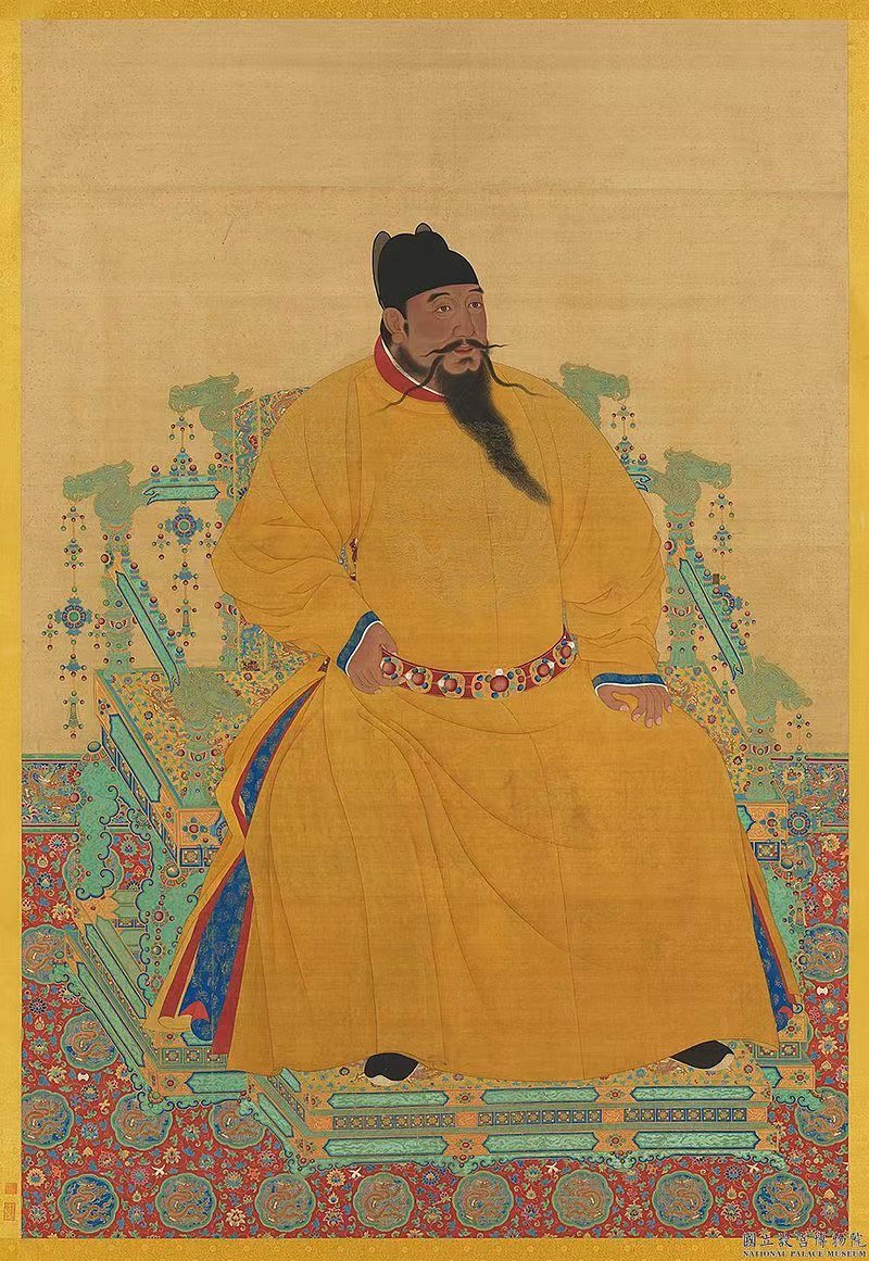
After Zhu Di, aka The Yongle Emperor, decreed that Beijing would be the capital of the Ming Dynasty in 1420, the soon-to-be relocated imperial court needed a place for its royal steeds. Today, Dongba is an area of parks and residential compounds just outside the Fifth Ring Road. Back in the early 15th century, though, it was the center of the imperial stables, with corrals and housing for the horses, camels, and other draft animals that served the emperor. The area around the stables was also near the intersection where several waterways, many of them built a century before, came together to flow south and east toward the Tonghui Canal and, eventually, the Grand Canal that connected the northern capital region with the prosperous south.
One of the minor tributaries, really more of a series of pools with a dirt road and a few watery ditches, became known as a good place to scrub horses before taking them down into the city. When preparing a horse for the emperor or the capital’s horse markets, you want that horse to be shiny and clean.
After a bath, the handlers would wait a bit to allow the horses time to dry off in the sun before following the dirt road and ditches to the area around the northeast Dongzhimen Gate. Thus, 晾 liàng (to dry in the sun), 马 mǎ (horse), 河 hé (river).

As is often the case with Beijing place names, people confused homophones, and over time 晾 liàng (to dry in the sun), eventually came to be written as 亮 liàng (shiny and bright). This is the Liang character people use today when writing “Liangma” River or trying to order a Didi to take them somewhere near Liangmaqiao.
During the imperial period, the site of the Liangma River remained mostly just a road and ditches, but in the 20th century, the expansion of the capital and the development of what is today Chaoyang District required the construction and expansion of waterways east of the old city. To improve drainage in the Xinyuanli neighborhood, workers in the early 1980s dredged a nearly 7 km stretch to the Ba River east of the 3rd Ring Road and reinforced the banks with concrete and stone to prevent erosion. The Liangma River began to take the shape and direction we know today.
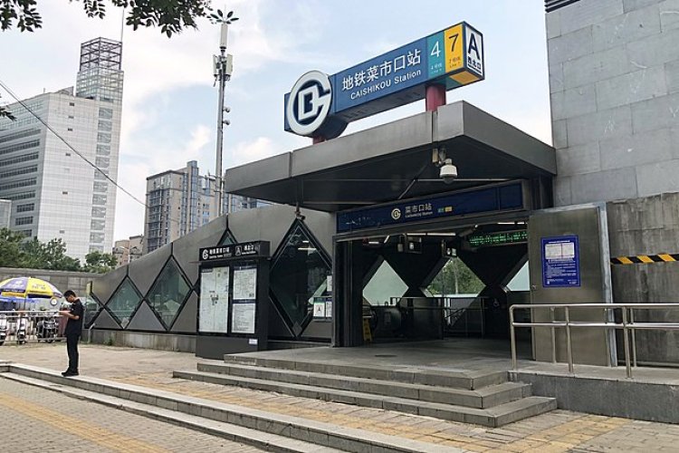
Soon, embassies and other properties were built around the newly-dredged waterway, including in the northern section of the Sanlitun District and the neighborhood near today’s Liangmaqiao Metro Stop. In the late 1980s, two of the city’s earliest “five-star” accommodations, the Great Wall Hotel and the Kunlun Hotel, as well as the 31-floor Landmark Tower, were built near the banks of the Liangma River. In 1992, the “Lufthansa Friendship Mall” (Yansha) joined the growing number of Liangma River prestige projects.
Unfortunately, the river suffered from overdevelopment and neglect. In a modern-day update of the river’s original purpose, taxi drivers would park by the side of the river and use the water for washing their cabs. Runoff from the streets and area's businesses and a lack of water treatment reduced the Liangma River to a soupy and, in the summertime, often fetid slough.

Fortunately, the city rescued the river. Beginning in the 2000s, municipal workers cleared the weeds and debris and reinforced the banks. The opening of the Liangmaqiao subway station brought more people to the area. The Chaoyang District Government took on the project in the 2010s, with a major restoration effort that saw new hotels, malls, and businesses along the river and the construction of a waterfront park stretching from near the Second Ring Road to beyond Chaoyang Park. This spring, workers are busy completing a series of riverside underpasses that will allow joggers and walkers to enjoy the park without having to cross busy thoroughfares like Xindong Road and the Third Ring.
It might not be La Seine, but Beijing’s “Little Canal that Could” has become an important part of the city’s urban landscape and a fine place to take a weekend stroll.
About the Author
Jeremiah Jenne earned his Ph.D. in Chinese history from the University of California, Davis, and taught Late Imperial and Modern China for over 15 years. He has lived in Beijing for nearly two decades and is the proprietor of Beijing by Foot, organizing history education programs and walking tours of the city and workshops and lectures on history and culture for students, companies, local organizations, embassies, and community groups.
READ: Walking the Martyrs Trail in Southwestern Beijing
Images: Uni You, Wikicommons


